.png)


Services
At our company, we offer comprehensive measured survey services tailored to meet your needs, whether it's a house, warehouse, or even a forest. Our experienced team utilises advanced technology to ensure precise measurements and deliver the highest quality outputs. Trust us to provide accurate and reliable survey results for any project, big or small.
Measured Building Surveys
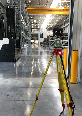
Using laser scanning technology to quickly and accurately gather building measurements, we produce a highly accurate virtual point cloud model of your building. From this we can create a variety of outputs designed to meet your specific requirements including:
-
Floor plans
-
Elevations and sections
-
3D Revit Models
-
Area referencing
-
Premise information box plans
-
Building heights surveys
-
Wall and floor flatness surveys
-
360 laser scan data walkthroughs

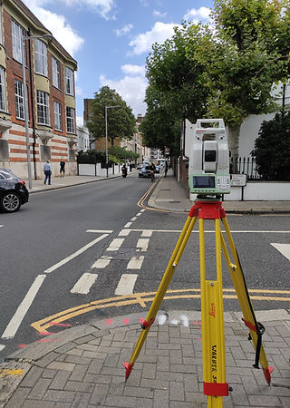
Topographical Surveys

Our topographical survey services use robotic total stations, GPS, and laser scanners to gather precise data. We deliver accurate surveys that support informed decision-making for your projects. We can provide:
-
Topographical surveys
-
Location Plans
-
Utilities and CCTV surveys


Engineering Surveys
Using RICS measured survey accuracy bands, we ensure reliable and accurate results tailored to your project’s needs on the following surveys:
-
Structural monitoring
-
Site Control
-
Low accuracy setting-out

Get a Quote
Please fill in the form below to get in touch, and we will respond promptly.